
19+
Years experience in surveying and GPS modeling.

200mi
Serving contractors around Longview, Texas.
100%
Contractor-focused support and workflow.
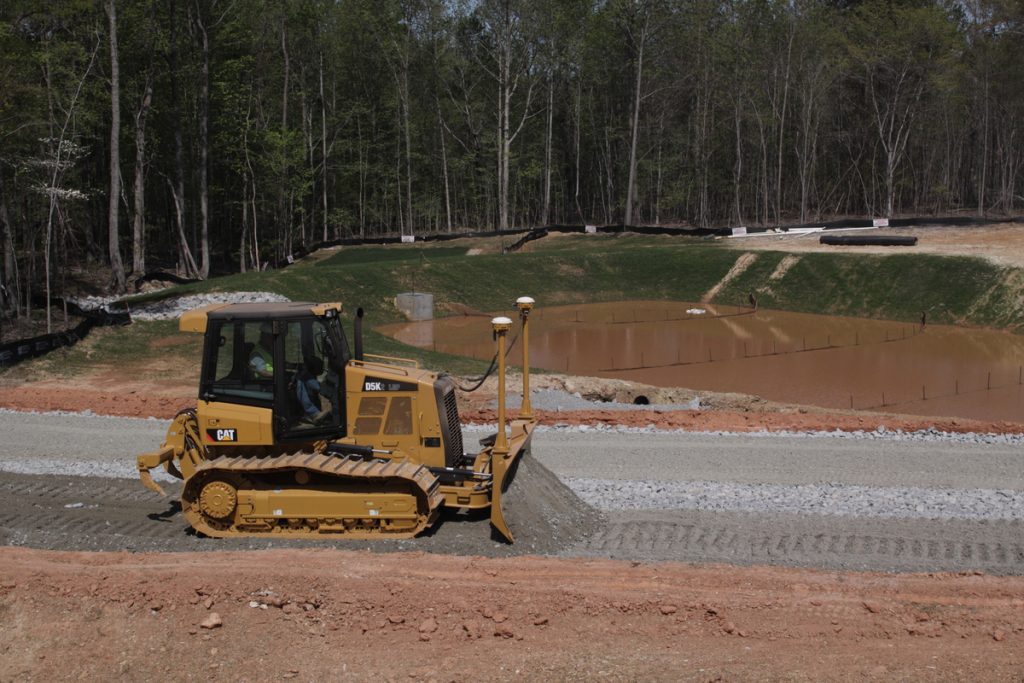
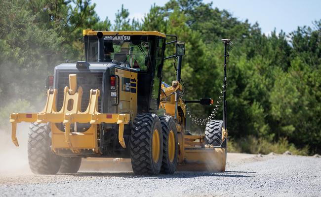
GPS grade control files, surface modeling, and machine control integration for contractors within a 200-mile radius of Longview, Texas.
Years experience in surveying and GPS modeling.
Serving contractors around Longview, Texas.
Contractor-focused support and workflow.
Built around contractor workflows and real-world production environments.

Machine-ready models for roads, excavation, pads, and site development.

Accurate 3D surfaces built from plans, CAD files, drone data, and field information.

Setup and support for contractor GPS systems.

Contractor-focused troubleshooting and support to keep crews productive.
Cross GPS Consulting & Integration supports the industry's most widely used machine control and field positioning systems.
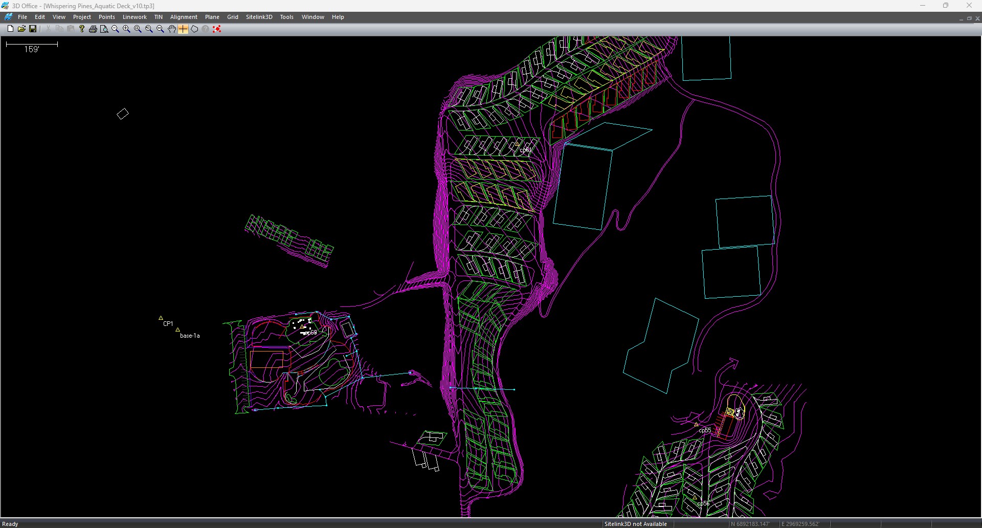
Accurate models, reliable machine integration, and responsive support.
Call 903-238-3870